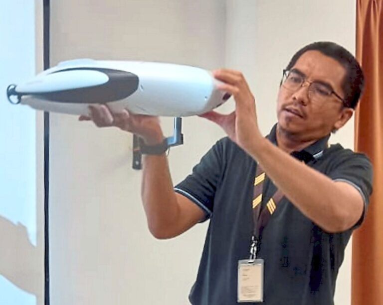
EARLY exposure to underwater drone technology is an advantage as it is an activity related to research and development that has not been fully explored.
Universiti Tun Hussein Onn Malaysia (UTHM) lecturer Dr Kamarul Rahim Kamarudin said that with the help of artificial intelligence, the technology could be used for fishing, storing bait and detecting fish.
“It can also be used to gauge water temperature, water depth and scan underwater topography.
“The potential for this technology is huge and it can be used for search and rescue operations in the river or at sea.
“So by teaching students this information, we hope that we can someday produce experts in this field that may be useful when running research which involves aquatic ecosystems,” he told StarMetro.
Kamarul is the head of the Centre of Research for Sustainable Uses of Natural Resources (SUNR) in Batu Pahat, Johor.
He said that as a start, SUNR had adopted the usage of underwater drones in its teaching and learning sessions last month with 45 students who were taking the Biodiversity and Conservation course.
“The fieldwork was conducted in Endau-Rompin National Park where the students were taught how to control an underwater drone and some of the features that could be applied for research work.
“This included bathymetry mapping, where we measured the depth of the river, lake or ocean floors, to study the habitats of the marine life like feeding sites and breeding grounds,” he said.
Kamarul said the students had been previously exposed to the use of aerial drones to study orthomosaic mapping.
“We are also planning to work with the Johor Forestry Department for the aerial and underwater mapping of the ecosystem at the Ayer Hitam North Forest Reserve (AHNFR) in Muar,” he added.